Monsoon Flow Returns This Week
TONIGHT: Storm chances for the afternoon remain elevated. Some storms could last into the evening. Main threat will be lightning and 40-50 mph outflow winds from storms.
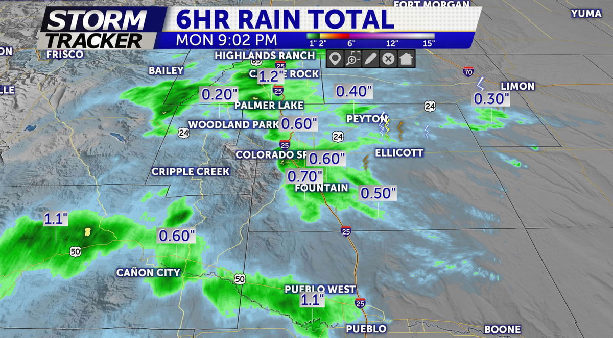
Radar-estimated rainfall over the last 6 hours:

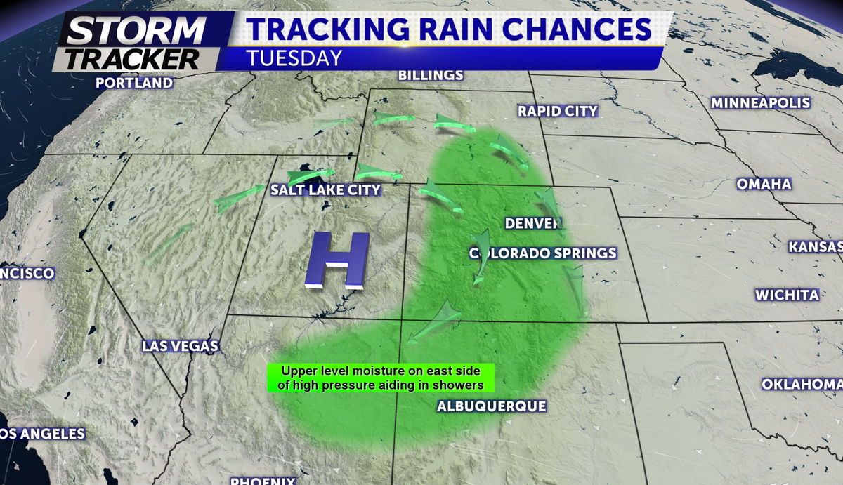
TUESDAY: A few clouds around in the morning before partly sunny for the late morning and early afternoon. High temps in the upper 80's around El Paso county and low 90's from Pueblo to the Eastern Plains. Showers and storms developing on the outer periphery of the High pressure located to our south will begin firing up over the mountains around noon before pushing across the Pikes Peak region and I-25 through the afternoon time-frame.

EXTENDED: Daily storm chances remain in the forecast this week with the wettest and coolest days late week (Wed-Friday) as high temps fall back to the 70's and 80's.


