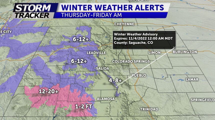
COLD FRONT ARRIVES THURSDAY

TONIGHT: Partly cloudy and mild overnight. Morning lows Wednesday morning in the upper-30s and low-40s.
TOMORROW: After a sunny start, clouds will begin increasing by the afternoon as a cold front moves in the mountains of Colorado. Winds out of the west southwest will gust to around 25-30 mph triggering areas of critical fire danger through 6pm. High temps in the 70's to near 80° for the eastern plains and 60's and 70's for the Pikes Peak region. Snow begin across the high country late Wed night through Thursday.
EXTENDED: Cold front sweeps across I-25 by Thursday yielding cooler temps in the 50's along I-25. Storm track will favor Denver and the foothills for the likelihood of their first measurable snow of the season. The Palmer Divide and higher terrain areas around the Pikes Peak region may see light accum of snow by Fri morning. Much colder temperatures can be expected Friday with highs in the 40s... with a gradual warming trend for the weekend.
