La Niña has arrived. Here’s what that means for the US

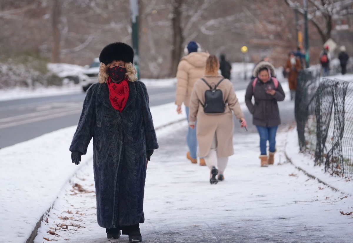
La Niña's typical influence on the winter is shown.
By Mary Gilbert, CNN Meteorologist
(CNN) — La Niña has finally emerged after months of anticipation, but there’s a catch. The climate pattern — which typically has an outsized influence on winter weather in the US — is rather weak and may not stick around for long.
But that won’t totally eliminate its effect. And, despite its late arrival, it’s already played a clear role in this winter’s weather.
Forecasters closely monitor La Niña and its counterpart El Niño because they influence global weather in a way that’s largely consistent and predictable well in advance – especially when the patterns are strong.
Last winter was the warmest on record for the US and was dominated by a very strong ”super” El Niño. This winter is different: Not only is La Niña much weaker than last year’s potent El Niño, it’s also arriving really late to the party. Both exert their greatest influence on weather in the winter months, and this La Niña has already lost a lot of time, according to Emily Becker, a research professor at the University of Miami.
“It is really getting started right at the time when it would normally be peaking (in strength) and beginning to dwindle,” Becker, who is also one of the main authors of NOAA’s La Niña/El Niño blog, explained.
That doesn’t mean its effect on US winter weather is down for the count.
The phenomenon is marked by cooler than average water temperatures in the equatorial Pacific, along with corresponding changes in upper atmosphere patterns — and these changes influence weather globally.
The atmosphere started to look La Niña-like in the fall, but ocean temperatures didn’t really look like La Niña until the end of the year, Becker explained.
So, despite the timing and its weakened state, La Niña’s atmospheric influence has already been apparent this winter.
California is the most obvious example. Winter in Northern California is typically wetter during La Niña while the southern half of the state is drier than normal. Those extremes are playing out in a major way: Northern California has had plenty of rain while Southern California is so tinder-dry that thousands of acres ignited this week.
La Niña also typically delivers more precipitation to the Midwest. Multiple major Midwest cities — including St. Louis, Indianapolis and Cincinnati — are having one of the wettest starts to winter to date, according to data from the Southeast Regional Climate Center.
But there are also exceptions that prove La Niña is not the only factor at play this season.
The South and parts of the central US are typically drier and warmer than normal during a La Niña winter, but that’s been far from the case for at least the past few weeks. Periods of brutally cold Arctic air have dominated the eastern two-thirds of the country since December and winter storms have delivered disruptive weather on a weekly basis since the year began.
The weak La Niña is forecast to stick around through April before yielding once again to so-called neutral — not La Niña or El Niño — conditions, according to the Climate Prediction Center.
Trends for the rest of winter and into the early spring are still showing La Niña’s influence but it’s not guaranteed the season will play out exactly like a typical La Niña.
“If La Niña were stronger, I would have more confidence … that the rest of the winter would closely resemble La Niña’s expected impact,” Becker explained, noting that the weaker La Niña leaves room for other atmospheric factors to exert influence.
Despite this, warmer than normal temperatures are expected to win out over much of the southern tier of the US and East from January through March, according to the CPC. Cooler than normal conditions are anticipated for some northwestern states, also typical of La Niña.
Wetter than normal conditions likely continue in the Northwest and Midwest and parts of the Northeast through March. More precipitation coupled with colder weather could be a recipe for bouts of snow into early spring. Much of the southern US is expected to end up drier than normal, but parts of the Mississippi Valley and Southeast could be the exception.
La Niña’s arrival was a long time coming
Long-range forecasters at the CPC first raised the possibility of a switch to La Niña back in February 2024 when El Niño was still very strong. At the time, experts thought La Niña would arrive over the summer or fall and increase hurricane activity in the Atlantic.
El Niño finally lost its grip on global weather in June, but La Niña’s arrival was delayed repeatedly, leaving an extended period of neutral conditions in place through the summer and fall. It turned out hurricane season didn’t need La Niña in order to deliver devastating impacts anyway.
The delay likely ties back to global ocean temperatures, which have been far above average for more than a year, according to Becker. Global air temperatures were also extreme in 2024, which will likely be the first year on record to smash a critical warming limit.
It proved difficult for the equatorial Pacific to cool off into a La Niña phase when the surrounding oceans and atmosphere retained so much exceptional heat.
The-CNN-Wire
™ & © 2025 Cable News Network, Inc., a Warner Bros. Discovery Company. All rights reserved.