Warm and Windy through Easter Weekend
TONIGHT: Partly cloudy and chilly overnight with lows in the 20's and 30's.
SATURDAY: Partly to mostly sunny skies with highs in the 60's and gusty west southwest winds around 40-50 mph. Elevated Fire Danger through Saturday
SUNDAY: Mild start to the day with sunrise temps in the upper 30's to low 40's before afternoon highs in the 60's to near 70°. Gusty winds again around 40-50 mph around the Pikes Peak region with 60+mph gusts around our southern mtns by the afternoon.
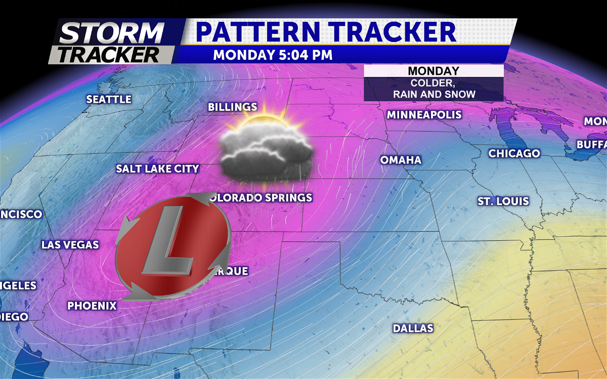
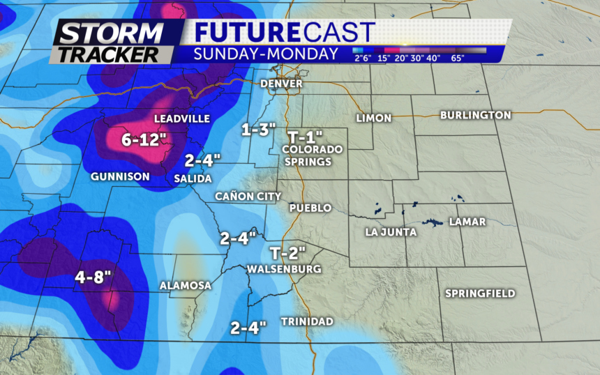
EASTER WEEKEND: Warm and breezy through the weekend with highs in the 60s and 70s . Gusts close to 40 mph around the Pikes Peak region Saturday and Sunday ahead of our next system will impact southern Colorado beginning Sunday night with a chance for rain and snow by Monday. Teller county and northern El Paso county will likely pick up a little more slushy snow through Monday with a rain snow mix in the lower terrain areas through Monday afternoon. Clearing out through mid-week.