Recent tremors highlight Colorado’s earthquake potential
PRITCHETT, Colo. (KRDO) -- No one could've predicted that thump in the middle of the night near Pritchett, Colorado, on September 13, would have generated this much chatter.
It wasn't thunder. It wasn't a crash.
The 3.8 magnitude quake rumbled to life at 3:27 a.m., when most are in that familiar REM sleep.
This was anything but familiar.

"It was super intense. And that pop -- it was just a crazy sound. I hadn't heard anything like it before," recalled Tiffany Hume, who lives in nearby Springfield. "I kinda hoped our shed was hit by lightning so we could get it replaced. I realized that wasn't it, so thought our house had been hit by a car. That was the only other logical explanation I could think of."
Hume said it all became clear when she got on Facebook and noticed others posting about the sound and shaking. That's when she was prompted by Google to fill out an earthquake questionnaire.
Because the epicenter was a mere five kilometers below the surface, its intensity was magnified.

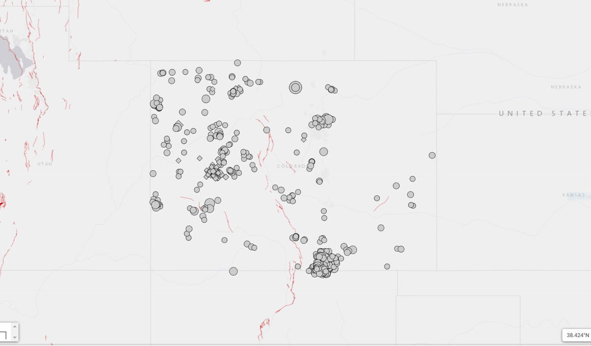
To the untrained eye, it was a bit of a head-scratcher: the epicenter of the Pritchett quake wasn't by any mapped fault lines.
William Yeck, PhD., a geophysicist with the United States Geological Survey, says the known, mapped, fault lines are generally deeper into the earth. This quake just happened to be along those lesser-known, more shallow faults.
"It's exciting to see these earthquakes in places that we don't normally expect," said Yeck. "In the subsurface, there are faults everywhere that we just don't know about, and the slip rates on those faults are very, very low. They don't slip that often."
Tremors in Colorado aren't as common as they are in California or Alaska, but Colorado is no stranger to quakes.
The state experiences that kind of mid-sized quake once a year -- somewhere. The largest recorded earthquake in Colorado was in 1882, just west of Fort Collins. It was a magnitude 6.6.
Fault lines in Colorado generally follow mountain ranges. Highway 24, from Colorado Springs to Woodland Park, is also an area that flanks a fault line. So, should we be worried that a quake could strike one of southern Colorado's most traveled thoroughfares?
"The slip rates on these faults are fairly slow. We don't expect to see a lot of seismicity on them. They definitely can host earthquakes, but it's not something we see commonly," said Yeck.
So, it's possible, but not probable.
