Pattern Change For The Weekend, Significant Mountain Snow
TONIGHT: Clear skies tonight with overnight lows in the 30's and low 40's. Winds will taper off after 8pm. Red flag warnings have been allowed to expire.

TOMORROW: Plenty of sunshine for Thursday with highs unseasonably warm in the 70's to near 80° along and east of I-25 and 60's for local mountain cities.
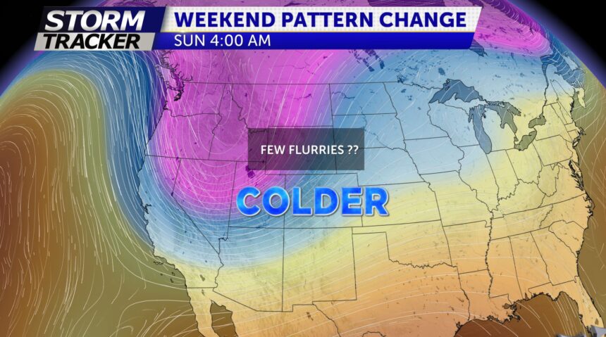
EXTENDED: A strong ridge of high pressure will help to maintain sunny skies and warm temperatures through Saturday. Highs the next several days in the 70s and 80s. Windy and cooler conditions begin to impact the area on Sunday and Monday. This disturbance will likely bring heavy snow across the high country by Saturday night and frigid overnight lows for our region by Sunday night. Highs Monday will drop into the 50s
