Warm with PM Storms Possible

TONIGHT: Clear to partly cloudy overnight. Morning lows will fall into the low and mid-60s.
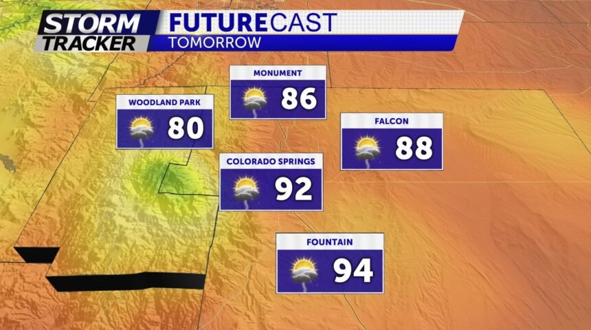
TOMORROW: Mix of sun and clouds with highs in the 80's and 90's around the Pikes Peak region. Storms will fire up after 2pm and remain fairly isolated (i.e not widespread rain). A second round of isolated storms possible from 4pm-7pm from Woodland Park to North Colorado Springs.
EXTENDED: Wednesday will feature frontal boundary crossing the area, with a easterly flow developing behind that boundary. Shower and thunderstorm chances will ramp up significantly from Wednesday and into the weekend.
