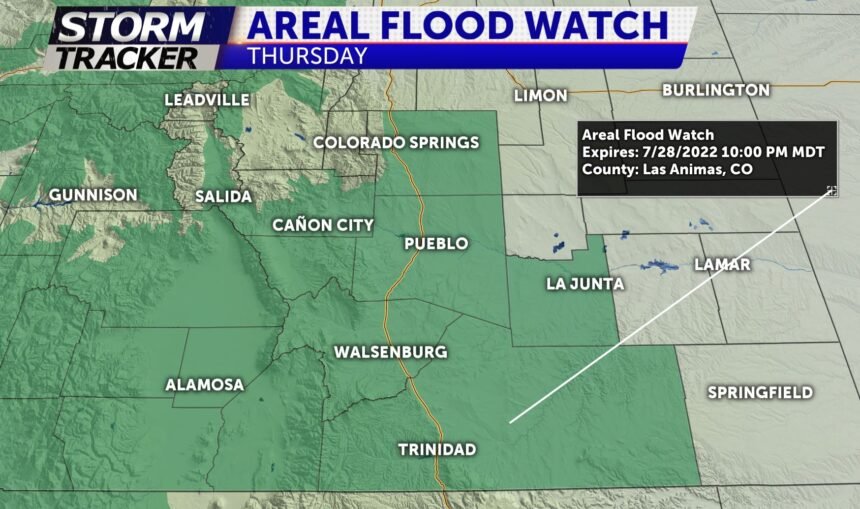
WEATHER ALERT: Heavy Rain Thursday yielding an Areal Flood Watch

TONIGHT: A cold front will move into the area overnight. This may for a few rain showers into the Thursday morning commute. Morning lows will be in the 50s and 60s.
TOMORROW: A cold front sweeps through early in the morning contributing to an increase in morning showers north of Colorado Springs. Storms will grow and produce heavier rain through the early afternoon. These storms will push south across the Pikes Peak region from 11a-4p yielding heavy ponding and localized flash flooding through the afternoon. Storms will continue a southerly trend after 5pm pushing south into Pueblo county with a lingering flooding threat through 10pm.
EXTENDED: Cloudy and cool with numerous rain showers on Friday and another round of monsoonal showers. Highs for Colorado Springs and Pueblo will hover in the mid and upper-70s. We can also expect afternoon showers and storms Saturday with a gradual drying trend early next week as temperatures climb back into the 90s.
