WEATHER ALERT: Tracking the winter storm
Overview: We’re continuing to track a storm that will bring a variety of weather conditions to the area this weekend. Another storm could bring more precipitation to the area around mid-week.
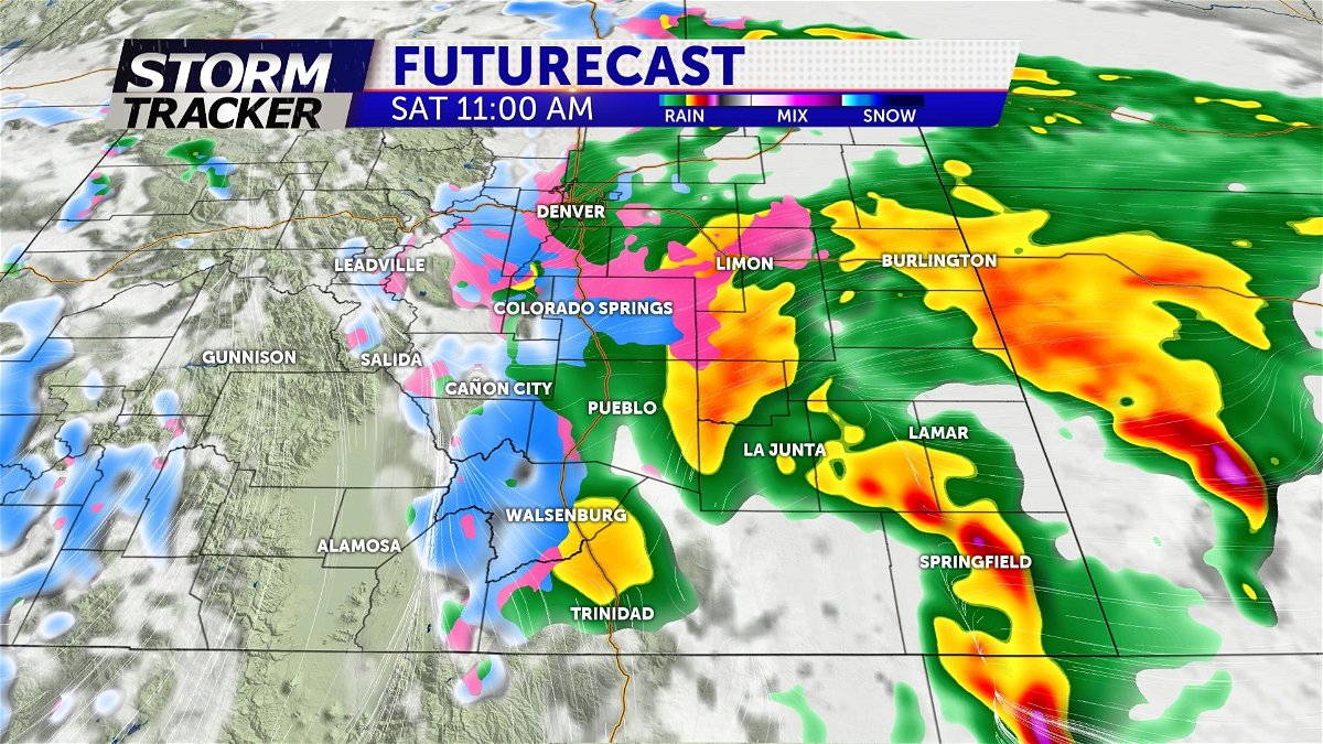
Today: We’ll start the day off with a mixture of low clouds and areas of fog, freezing fog, drizzle, freezing drizzle, and spotty rain and snow showers over much of eastern Colorado. Some minor icing/snow cover could be encountered early this morning with roadways on the higher terrain along I-25 and on the Palmer Divide most likely to be affected.
As the first significant wave from the approaching system lifts north across the area today, more intense areas of rain, snow, and possibly some thunderstorms should develop over more areas this morning into the afternoon. On the higher terrain along and west of I-25 we expect wet snow will likely accumulate efficiently on the cooler surfaces with road conditions generally worse as elevation increases, or under the more intense bursts of heavier snow which could significantly reduce visibility, and at times be accompanied by some lightning and thunder. Thunderstorms over the southeastern corner of the state (mainly Baca/Prowers counties) could produce some hail as well as bursts of heavy rain and strong wind gusts.
We will remain in the relatively “warm part” of the storm today which should keep the snow pretty wet where it falls over the plains with some melting occurring as the snow falls. Less melting is likely to occur at higher elevation which should allow for more impacts to roadways and generally higher accumulations of snow. Although we expect a chilly breeze today, for most areas the wind shouldn’t be terribly gusty, so we don’t expect blowing/drifting snow to be much of a problem. High temperatures today will reach the 30s and 40s for most areas, but over the higher terrain the air could cool into the 20s under heavier bursts of snow. Through the warm part of this storm, it looks likely that most of Colorado Springs could receive about 3”- 6” of snow through early this evening. Accumulations of snow on the Palmer Divide will probably range from 4”- 8” for most areas although isolated pockets could receive up to 10” should heavier bursts develop. Most of Teller County looks to receive about 3”- 6” of snow as well although the eastern slopes of the Rampart Range and Cheyenne Mountain (places like Cascade for example) could have pockets of closer to 5”- 10”. 4”- 8” of snow could also fall over the mountains surrounding Canon City and southwest of Pueblo, with lighter amounts on the order of 1”- 4” along the Arkansas River from Pueblo westward through Canon City, primarily on the cooler surfaces.
Tonight: As we transition from the “warm side” of the storm to the colder side tonight we could have a lull in the widespread, heavier precipitation that lasts several hours for some areas, but we still expect at least intermittent snowfall, especially on the higher terrain around the Pikes Peak Region. The air will start to cool, and wet/slushy/snowy roadways could start to ice up. The wind will start to swing around from the north/northwest and increase some late with gusts increasing to between 20 and 30 mph by morning over lower elevations in the Pikes Peak Region. The wind should also get stronger over and near the mountains southwest of Pueblo where gusts over 30 mph are likely. While blizzard conditions don’t appear likely, exposed areas, particularly over the Palmer Divide and along highway 160 from Walsenburg to La Veta Pass should experience some blowing and drifting snow which will reduce visibility and make for difficult travel through the night. It looks like another 2”- 4” of snow could fall through the night for most areas on the higher terrain around the Pikes Peak Region with a few pockets of slightly heavier amounts possible against the foothills or on the Palmer Divide. Southern areas probably won’t receive as much additional snow during the night. Low temperatures should fall into the 20s to near 30 for most areas.
Sunday: Cold and blustery with periods of snow primarily on the higher terrain surrounding Colorado Springs and Pueblo. While intermittent bursts of snow could occur over Colorado Springs, Pueblo (maybe even a few rain showers), and Canon City, it appears that snowfall will be more scattered in nature in these areas, and along the Arkansas River not likely to accumulate greatly on roadways. We couldn’t rule out isolated pockets of another 1”- 2” of snow under any bursts that may develop around Colorado Springs. Over the higher surrounding both Colorado Springs and Pueblo another 2”- 4” seems more likely with some heavier pockets possible under any stronger bursts. High temperatures should reach the 30s and 40s for most areas in eastern Colorado with a mixture of 20s and 30s over the mountains.
Extended: As the storm drifts away from the area we expect some clearing on Monday, but the air will remain cool with 30s and 40s along and west of I-25, maybe lower 50s over the plains. A quick moving system could bring another shot of wind and precipitation to parts of the area Tuesday and Tuesday night with isolated snow showers possibly developing over and near the mountains on Wednesday as well. The rest of the week looks dry and warmer with periods of wind and passing clouds.
