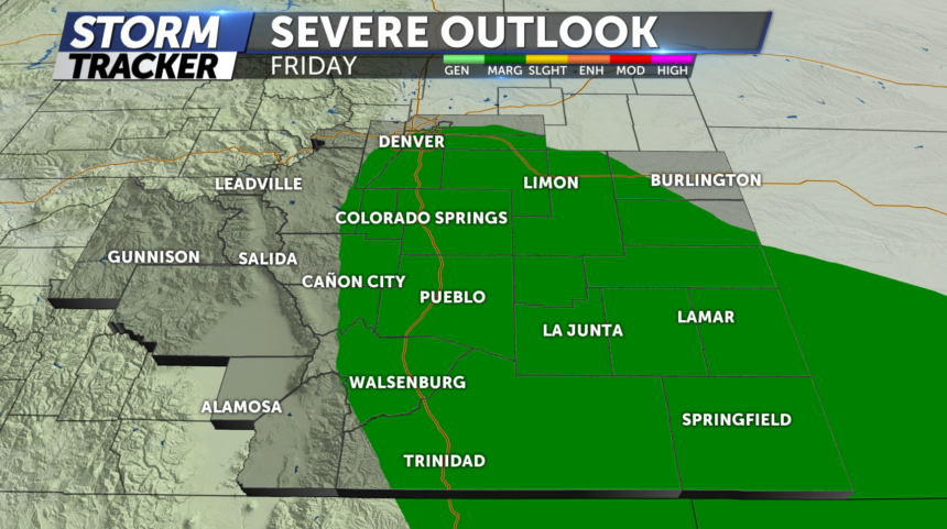
A FEW STRONG STORMS FRIDAY

TONIGHT: This evening we'll see increasing clouds and a better chance for rain showers and thunderstorms mainly across Northern El Paso County. A few stronger storms likely across the far eastern plains overnight with winds being the primary concern. Chilly overnight with morning lows in the low-50s for the Pikes Peak region and the upper 50s around Pueblo.
FRIDAY: More clouds than sunshine, cooler with temps in the 60's and 70's for the Pikes Peak region and 70's for Pueblo and Eastern Plains. Afternoon storms move in early afternoon-evening and some of these storms could become severe producing pea to penny size hail and strong winds.
EXTENDED: Temperatures will gradually warm as we head into the weekend with highs rebounding into the low and mid-80s. The summer solstice arrives on Saturday afternoon, as we celebrate the first full day of summer for Father's Day on Sunday.
