A blast of winter to southern Colorado
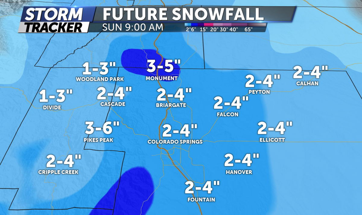
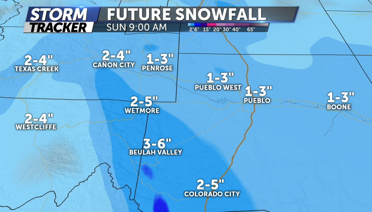
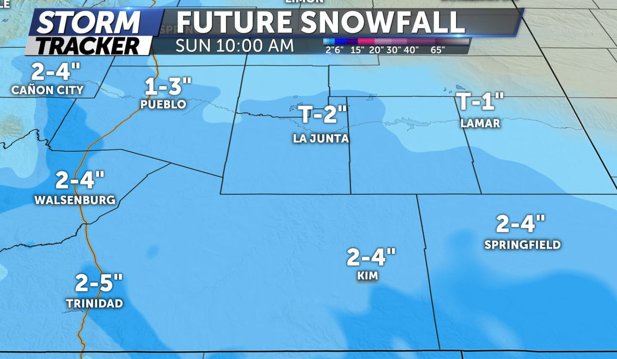
Snow showers will continue for much of the I-25 corridor through midnight tonight with tapering flurries by early Sunday morning. Snow accumulation totals look like this:
Colorado Springs: 2-4"
Monument: 3-5"
Woodland Park: 1-3"

Pueblo: 1-3"
Canon City: 2-4"
Westcliffe: 2-4"

Walsenburg: 2-4"
Trinidad: 2-5"
Springfield: 2-4"

Sunday: Patchy fog is possible in the Colorado Springs area during the early morning hours with clearing conditions after 10am. Turning mostly sunny by early afternoon with highs in the mid 30s.
Extended: Entering into a calm weather pattern to start the week with highs returning to the 40s and 50s for valley areas. Minimal chance of precipitation through the week ahead.
Click HERE for an interactive radar.
The KRDO StormTracker 13 weather app is available for download in the iOS app store and in Google Play.
