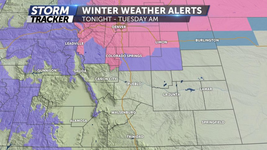
SNOWY START TO HOLIDAY TRAVEL

TONIGHT: Mostly cloudy. Snow increases in coverage through midnight and into the morning commute. Overnight lows will cool to the teens and 20s. The snow is expected to start after sunset in Colorado, with heavier bands moving in after midnight.
Updated accumulation totals are as follows:
Denver 8-12"
Castle Rock 8-12"
Monument 4-8"+ (isolated totals to 10”)
Woodland Park 4-8"+ (isolated totals to 10” in north Teller Co.)
Briargate 3-5"
Colorado Springs 2-4" with 3-5” totals further north of downtown.
Falcon 4-8"
Fountain 1-3"
Pueblo T-2"
EXTENDED: A heavy band of snow will likely push through the I-25 corridor through the early morning commute tomorrow (5-7am) before we see moderate to light snow showers through the remainder of the day. Moderate to heavy snow totals will be left by the time 6pm rolls around. We will only warm into the 20s and 30s tomorrow, with slightly warmer highs and dry conditions for Wednesday. Thanksgiving into Black Friday could bring some more rain and snow showers. Stay tuned for updates!
