USFS releases interactive map of Oak Ridge Fire

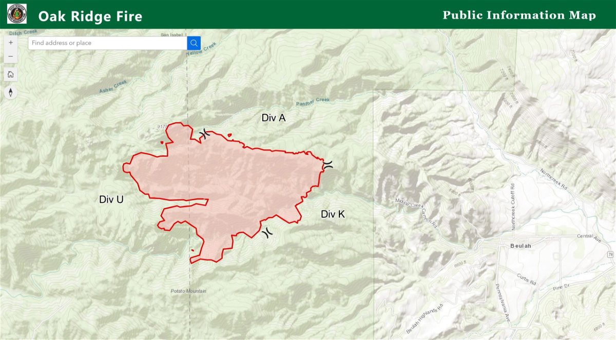
The US Forest Service has released an interactive map to help residents of Beulah and the surrounding area understand exactly where the Oak Ridge Fire is located and where it's heading.
Thursday evening, it was listed as 1,0171 acres with zero containment.
It broke out Saturday and continues burning in southwest Pueblo County.
The interactive map suggested the eastern edge of the fire was approximately one mile from the end of Middle Creek Canyon Road, where several residential properties are located.
The main area of Beulah is an additional mile from the eastern edge of the fire.
Fire commanders have said that most of the growth, although a small amount each day, continues to be on the western edge where there are no residential properties.
The cause is believed to be a lightning strike during a passing storm.
