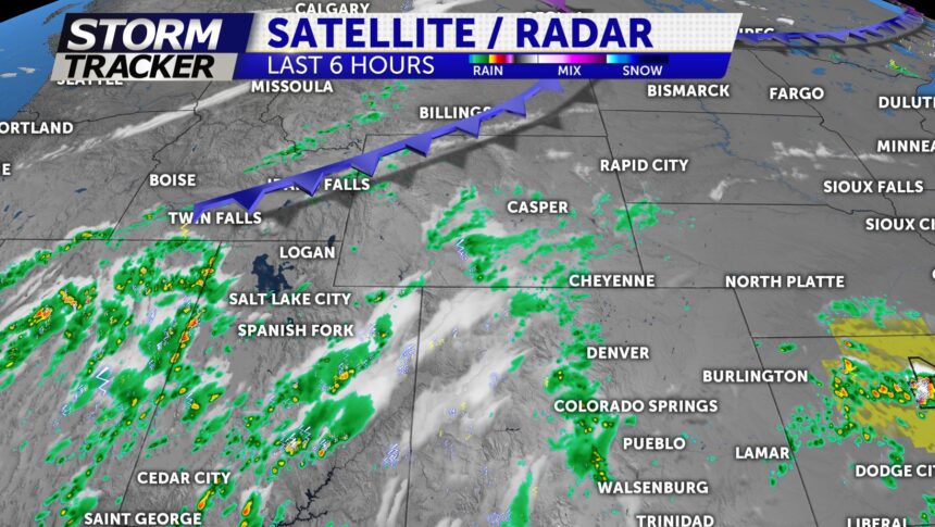
Cold Front Friday Increasing Storm Chances

Tonight: Storms favor higher terrain areas this evening; however, a few spill over showers and embedded rumbles of thunder likely before 9pm. Not many issues from those storms expected. Skies will clear overnight. Lows and the 40s and 50s.
Friday: A nice start to the day will translate into a day of afternoon storms. A cold front , currently moving through Wyoming, will slide across the state after the noon hour increasing clouds and storms. The biggest chance for these storms will be along the I25 corridor and on the eastern Plains and HWY 50.
Extended: High temperatures will build into the 70s and 80s this weekend will mostly dry conditions. We will watch storms build back into the forecast by early next week. Numerous storms are possible Monday through Wednesday of next week with highs near normal in the 70s and 80s.
