New congressional redistricting Colorado map draft
COLORADO (KRDO) -- Friday, the Colorado Independent Redistricting Commissions, or CIRC, released the first congressional staff plan. The series of new meetings represent the next step in redrawing the state's congressional map.
According to the CIRC, the new plan incorporates 2020 Census Data, public comment, and input from the commission. The new plan will be presented to the commission on Monday at 6 p.m., followed by public hearings next week.
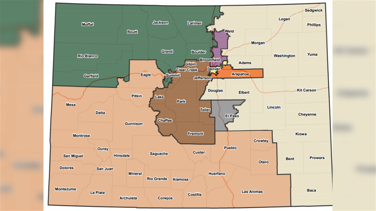
Below shows the preliminary map, released in June, compared to the first draft released Friday:
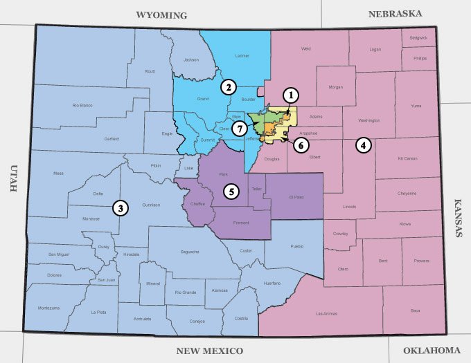
Below is a map of the current Colorado Congressional Districts, right now there are only seven districts. Currently, CIRC is in the process of developing a new district.
The preliminary map released on June 23, moved Pueblo County from Congressional District 3 into Congressional District 4 and drastically altered District 5, which would be comprised of half of El Paso County. The other half of El Paso County would be moved to District 4.
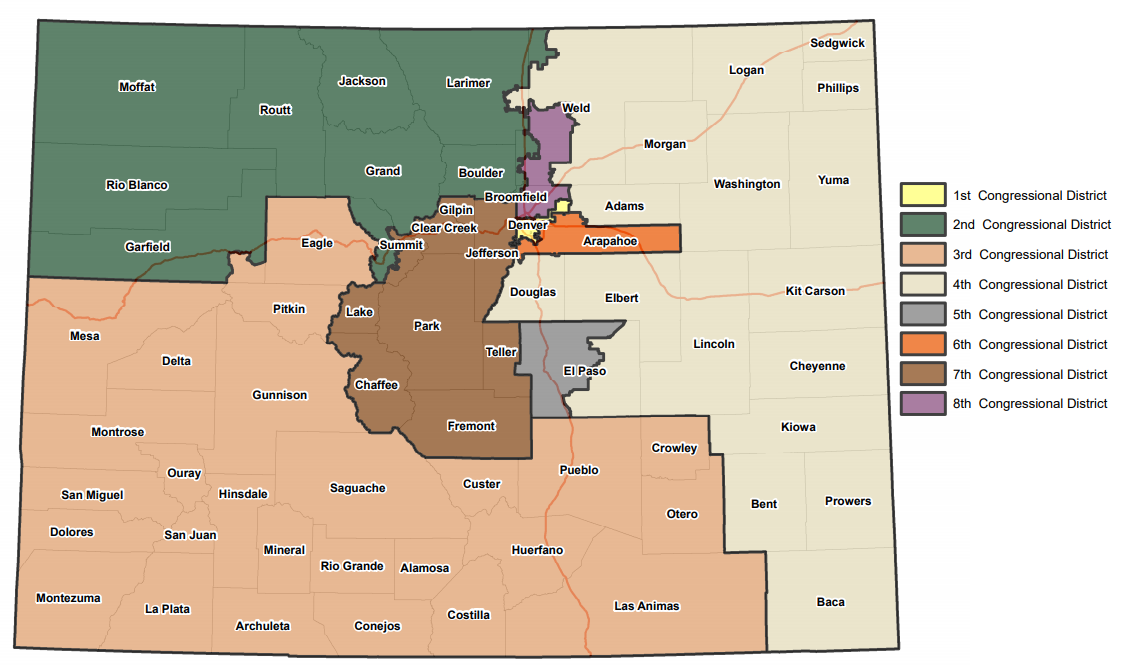
The new map moves Pueblo County back into District 3 and expands District 7 down into Fremont, Park, Teller, and Chaffee County.
With the recent draft, the new 8th Congressional District remains relatively unchanged.
Other major changes include altering District 2 and 3. Jackson, Routt, Moffat, Rio Blanco, and part of Garfield counties would become part of District 2.
However, the majority of Fort Collins would become part of District 4, despite being in Larimer County. The new map would keep the rest of Larimer County in District 2.
Currently, District 2 is represented by Rep. Joe Neguse. Friday, Neguse acknowledged the redistricting map by saying he might end up running for re-election against Rep. Lauren Boebert, who currently represents District 3. Boebert currently lives in Garfield County.
So, if the redistricting map released tonight holds, looks like I may be running for re-election against . . . Lauren Boebert.
— Joe Neguse (@JoeNeguse) September 3, 2021
Join our team today ⬇️⬇️⬇️https://t.co/TIjQZdYNDo
According to the preliminary statement, in a meeting on September 1, the majority of the Congressional Commission voted to recommend to nonpartisan staff the following should be kept together in a single congressional district:
- The six counties of the San Luis Valley
- Huerfano, Las Animas, Otero, and Pueblo Counties
- The Southern Ute and Ute Mountain Ute tribal lands in Archuleta, La Plata, and Montezuma Counties
To read the First Congressional Staff Plan, click here.
For an interactive map, click here.
For more information on the First Congressional Staff Plan, click here.
The Colorado Independent Redistrict Commission is holding meetings to consider the maps. Each commission will hold a final round of virtual public hearings. For more information on the meetings, click here.
