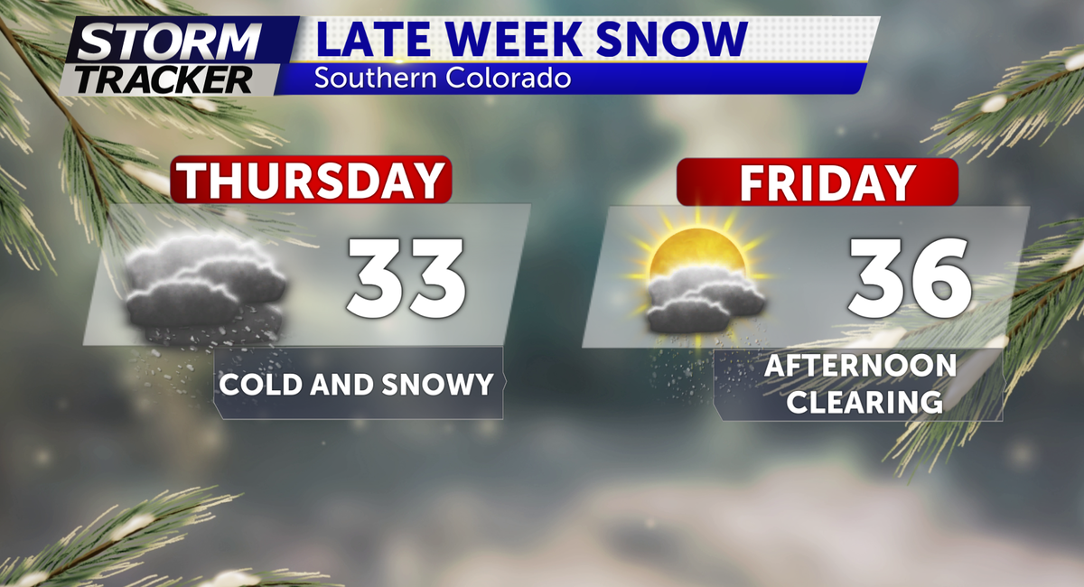
LATE WEEK SNOW LIKELY
Tracking two storm systems (Thursday-Friday & Sunday-Monday).
TONIGHT: Skies remain clear overnight, allowing temperatures to drop to the teens and 20s.
TOMORROW: Partly sunny with highs in the 40's for the Pikes Peak region with near 50° across the eastern plains.
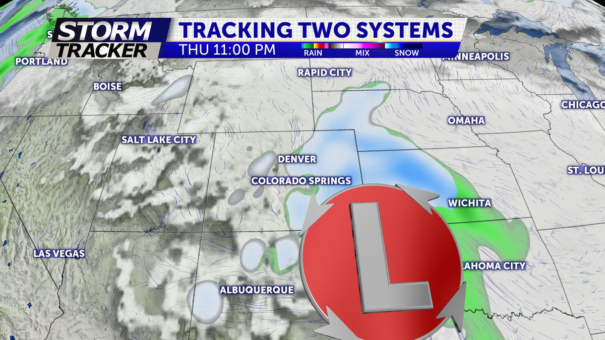
EXTENDED: We're tracking two storms in the extended forecast.
Snow likely for Thursday-Friday AM before a second wave of snow hits on Sunday -Monday
Right now- the heaviest of snow looks to fall during the afternoon and evening on Thursday with the Thursday afternoon commute likely affected (4-6pm).
The track of the system looks to favor areas along and south of the Arkansas river valley yet still appearing to be a region-wide event bringing moderate snow to most of the I-25 corridor (2-4 on the lower side and more than 5" on the higher side)