Snow Chances Return Friday
TONIGHT: Clear skies and frigid morning lows Friday. Most areas will dip into the teens by sunrise Friday with few areas showing single digit lows.
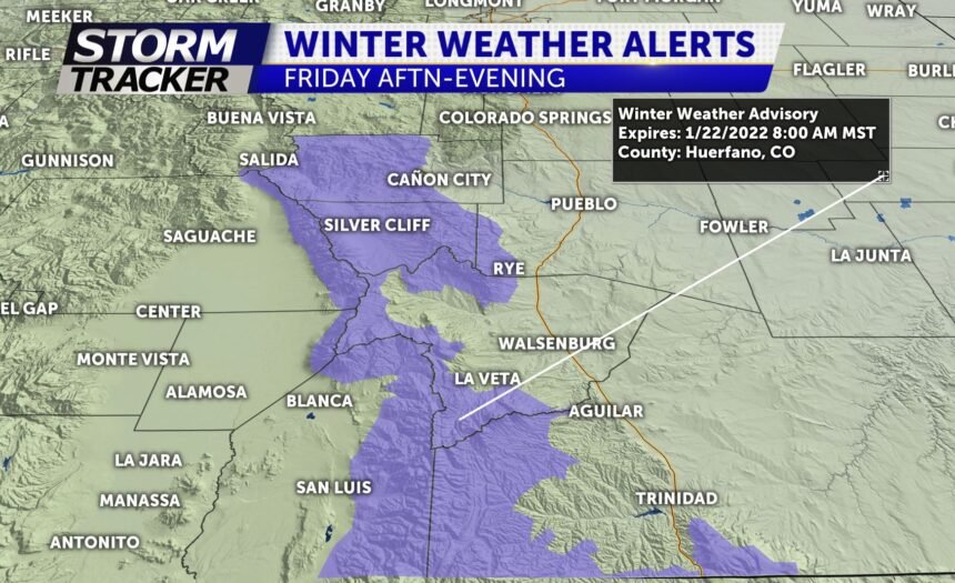
TOMORROW: A bit milder for Friday highs before our next storm system brings accumulating snow to the region. Snow will begin Friday afternoon and continue into early Saturday morning. One to two inches of snow are possible along the I-25 corridor from Colorado Springs to Pueblo. Higher amounts for the mountains to the west.
EXTENDED: Cooler start to the weekend with highs in the 30's and increasing sunshine. Sunday is a bit warmer as we climb back into the 40's. Our next disturbance looks to moves in Tuesday of next week yielding another round of snow for southern Colorado.
