WARMER TOMORROW WITH A FEW AFTERNOON STORMS
TONIGHT: Mainly clears skies and cool morning starts with overnight lows in the mid-40s.
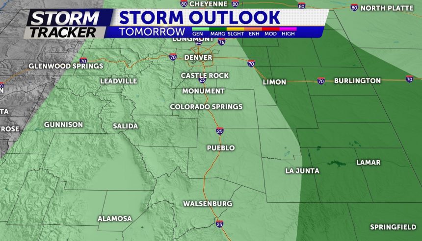
TOMORROW: Partly sunny for the first half of the day with temps soaring into the 70's to near 80° for parts of the Pikes Peak region. We will approach the 90° mark across the Eastern Plains. A few afternoon storms are possible after 2pm. As storms track East towards the Plains a few could approach severe weather criteria producing strong outflow winds and potential for small hail.
EXTENDED: Mainly sunny and warm heading into the weekend before cooler temperatures and rain showers arrive Sunday. Highs Friday afternoon will be in the upper-80s and low-90s. Warm Saturday with a chance for afternoon showers and thunderstorms. Rainy and cooler for Sunday and Monday.
