WEATHER ALERT SATURDAY
TONIGHT: Partly cloudy and cold overnight with morning lows in the teens and twenties
TOMORROW: Increasing clouds and slightly cooler temperatures ahead on Friday. Highs will reach the upper 30's to low 40's
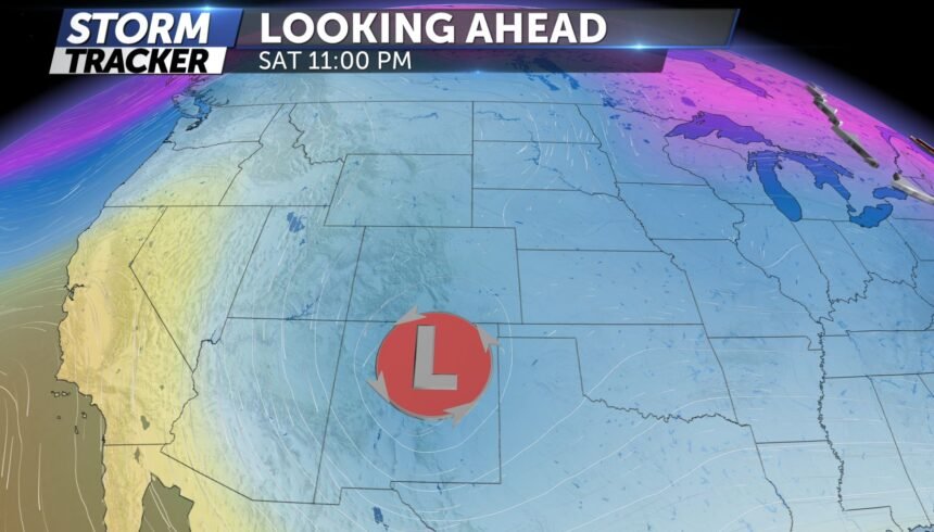
EXTENDED: A fairly robust, but quick-moving, storm system will move in late Friday night yielding an all-day, region-wide snow event for our region on Saturday. As of right now, a general 2-4" can be expected with higher amounts close to 6" possible for our southernmost areas. Winds will likely gust close to 30 mph at times which could briefly reduce visibility in some areas. These are preliminary snowfall estimates and more updates will be provided on Friday. Please keep checking back.
