ONE MORE SIZZLING DAY

TONIGHT: Another warm summer evening with just partly cloudy skies. We'll see partial clearing overnight with morning starts Friday in the low to mid-60s towards sunrise.
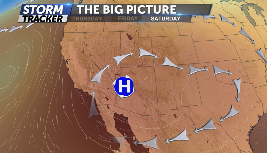
TOMORROW: This will be our last unseasonably hot day with mostly dry conditions and temps in the 80's 90's for the Pikes Peak region and low 100's for the Eastern Plains.
WEEKEND: Temperatures begin to relax by Saturday with a return to an east wind and a chance for a few showers across the Eastern Plains, one or two could become strong to severe but mostly calm in the PP region. Our chances for afternoon showers and thunderstorms climbing to around 40% by Sunday afternoon as a cool front starts to sweep the state. Chances for daily storms will continue to linger into early next week with seasonal highs in the 80's.
