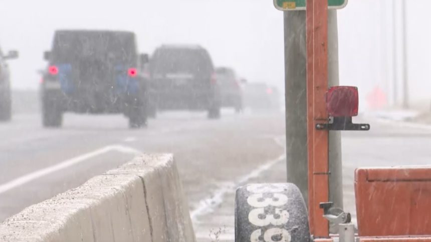
Blowing snow possible for Thursday commute in southern Colorado

COLORADO SPRINGS, Colo. (KRDO) -- A fast-moving cold front could bring a short, but possibly intense, burst of wind and snow along the Front Range through southern Colorado.
The cold front could hit right in time for the evening commute, and that may impact visibility and road conditions.
Gusts over 30 mph will be frequent along the Interstate 25 corridor, and the best chances for accumulating snow will be along and west of I-25.
The short duration of the snowfall would limit accumulations to 1”- 2” for most areas where the snow could fall, but some spots on the higher terrain to the southwest of Pueblo -- including Rye, San Isabel, Beulah, Cuchara -- could receive as much as 3”- 6”.
Snow accumulation on roadways is possible, but the bigger concern for commuters will be windblown snow causing visibility issues.
Winds will die down as it gets later Thursday into Friday morning. Friday will start chilly and breezy but will eventually warm into the 40s and 50s.
Click HERE for an interactive radar.
The KRDO StormTracker 13 weather app is available for download in the iOS app store and in Google Play.