Winter Weather Advisories and Warnings
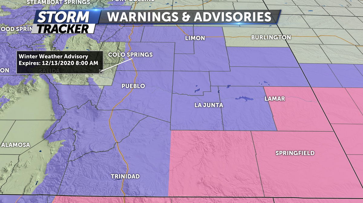
Tonight: A low-pressure system will move through far southern Colorado overnight, bringing moderate to heavy snowfall to the region. The highest snow totals will be across the Sangre's and the southeastern plains where 5-10" could fall overnight. North of HWY 50 and into Colorado Springs will still see 2-5" with gusts at 25-35mph, making for visibility problems and drifting snow. Roads will likely be slick and snow-covered for much of the area Sunday morning so make sure to drive carefully.
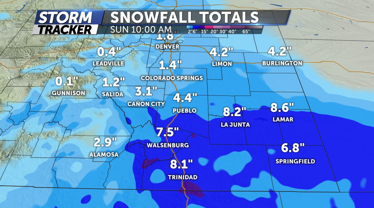
Sunday: Gradually the snowfall will taper off through the late morning with sunshine expected by the afternoon. High temperatures only reaching 35 degrees in Colorado Springs and 34 in Pueblo and light winds.
Extended: Snow showers are looking to return to the area by Monday evening, but with relatively little accumulation for most valley locations. Then a drying and slight warming trend is expected from Wednesday into next weekend with high temperatures back into the 40s.
Click HERE for an interactive radar.
The KRDO StormTracker 13 weather app is available for download in the iOS app store and in Google Play.
