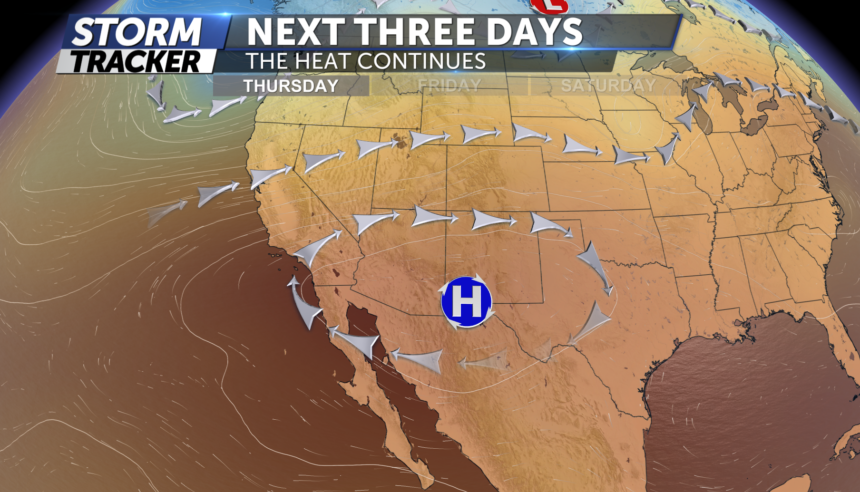
WARM AND DRY PATTERN CONTINUES
TONIGHT: A weak boundary moved through between 4-6pm cooling temps a decent 7 degrees in less than 45 min. This has also increased our winds with gusts around 30mph out of the east. A stray shower/storm cannot be ruled out overnight but most areas will stay dry with temps in the 60's
FRIDAY: A little bit of cloud cover to start off in the morning before plenty of sunshine breaks out closer to the noon hour. Temps soring once again into the 90's by the early afternoon, low 80's for Teller County and near 100° from Pueblo to the Eastern Plains,
WEEKEND FORECAST: And the heat goes on. Mainly sunny skies and hot temperatures are expected as we head into the weekend. Models are indicating a bit more moisture being ushered into southern Colorado by Sunday and this introduces a small chance for isolated showers and thunderstorms Sunday afternoon and evening. Highs this weekend will remain in the mid-90s and low-100s.
